Fortnightly Auctions Of Antiques, Collectables, General Furniture and Effects. New Lots Added Daily.
Sold for: £8
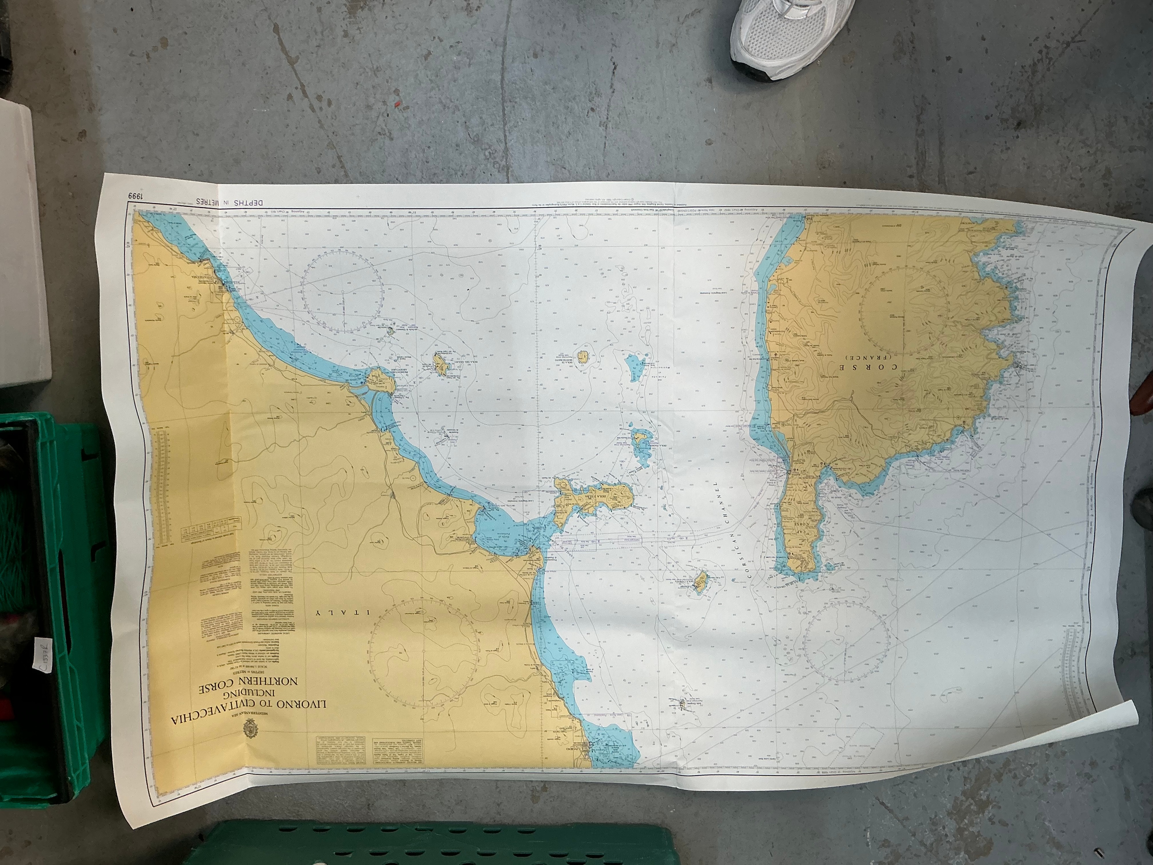
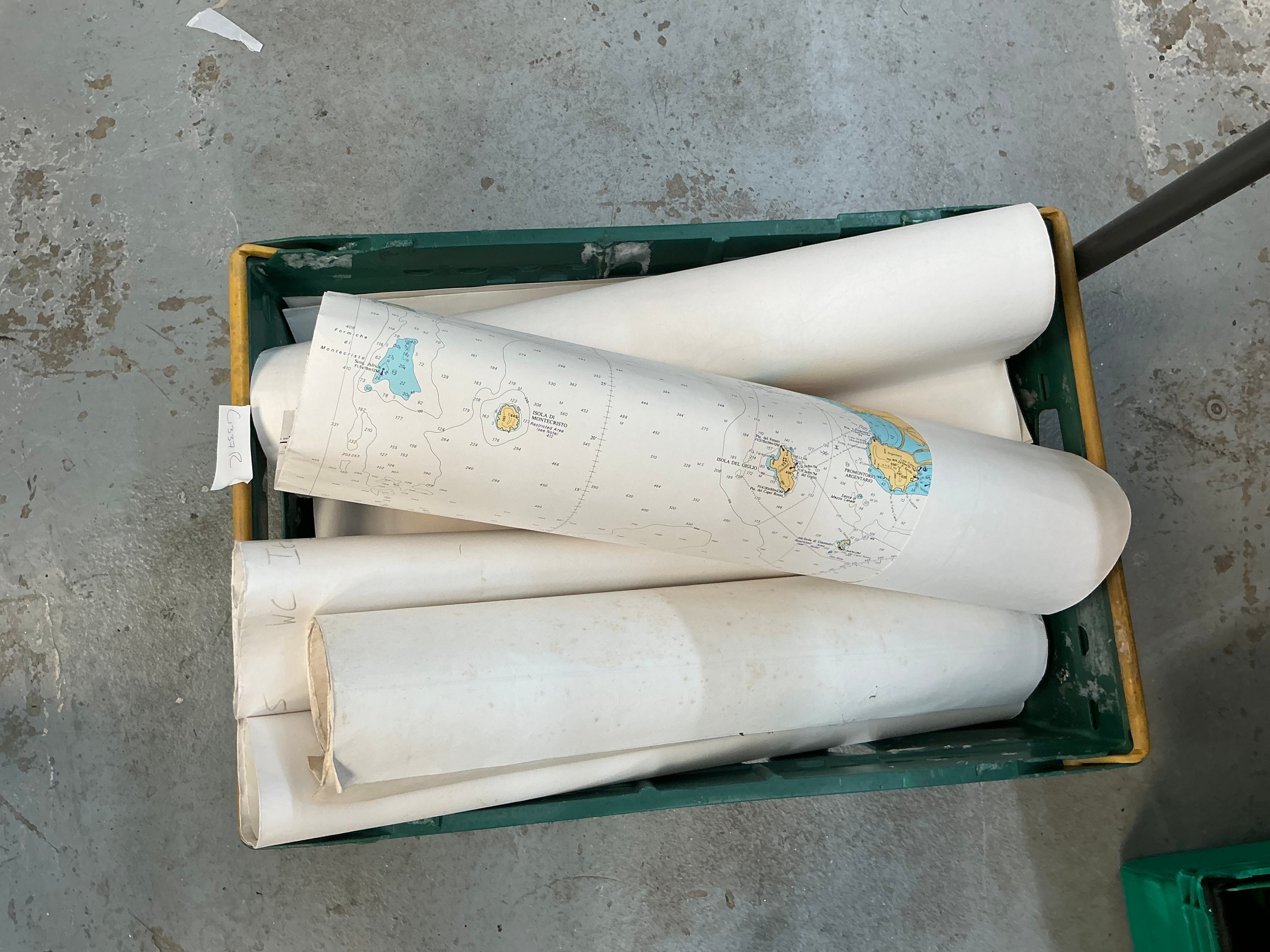
A collection of modern nautical charts printed on heavy-duty chart paper using offset lithography. The group includes multiple charts focusing on the Mediterranean region, specifically the Tyrrhenian Sea and the Italian coast. One prominent chart is titled MEDITERRANEAN SEA / LIVORNO TO CIVITAVECCHIA / INCLUDING / NORTHERN CORSE and bears a crest for the United Kingdom Hydrographic Office with the text ADMIRALTY CHARTS AND PUBLICATIONS. The charts utilize a standard maritime palette featuring yellow for landmasses, blue for coastal waters, and white for deep sea areas, with depths recorded in metres. A date of 1999 is printed in the upper left corner of the displayed sheet. Other visible charts in the assortment show details of Isola di Montecristo and Isola del Giglio. The reverse of the sheets is blank, and the set includes various rolled examples.
Condition report:
The charts show signs of use consistent with shipboard navigation. The displayed chart has prominent vertical and horizontal fold lines and curling at the edges (photo 1). There are minor scattered surface marks and light toning across the paper. Several additional charts stored in a roll appear to have some edge wear and minor surface soiling (photo 2).
Share this lot: