
Fortnightly Auctions Of Antiques, Collectables, General Furniture and Effects. New Lots Added Daily.
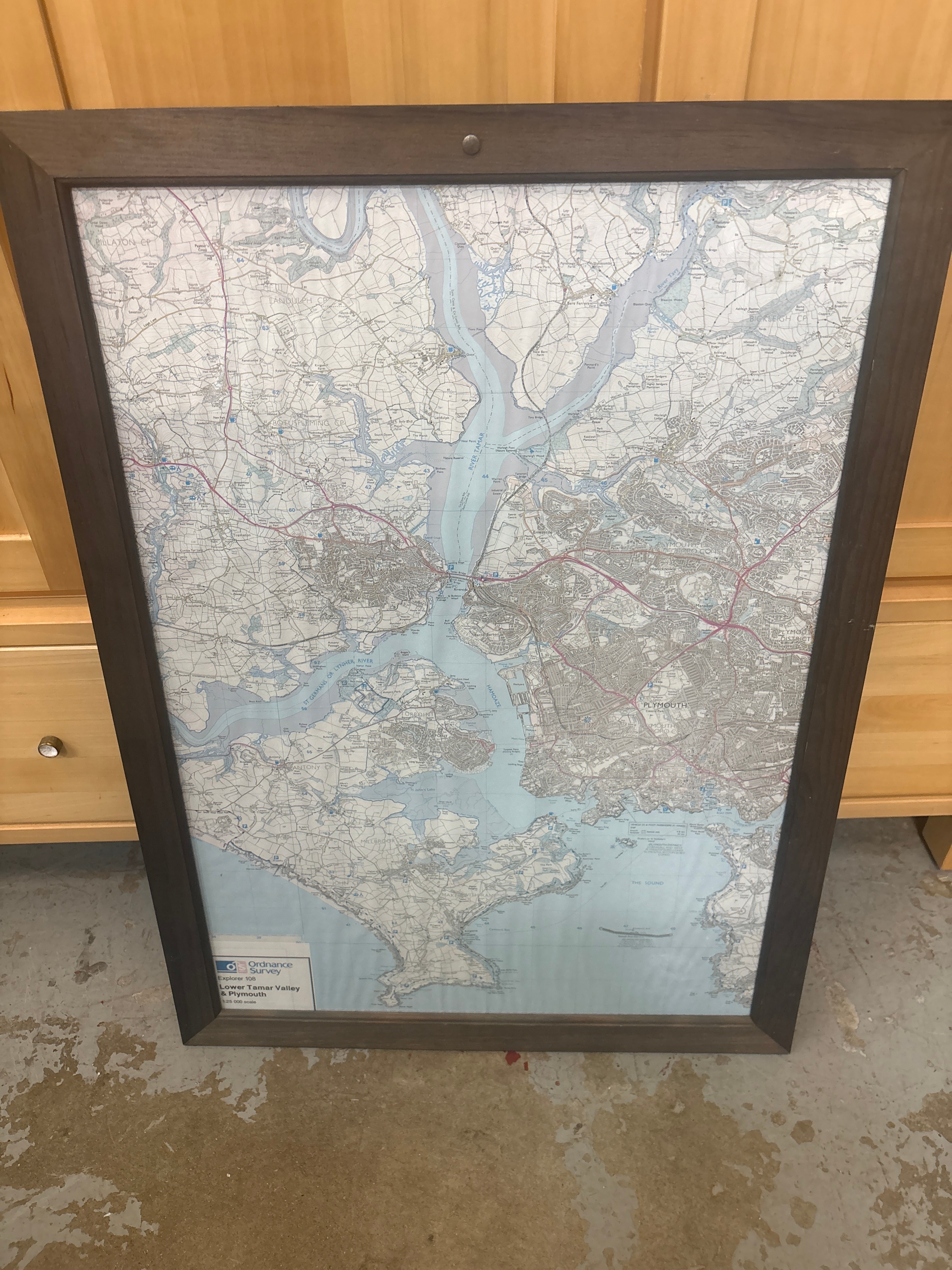
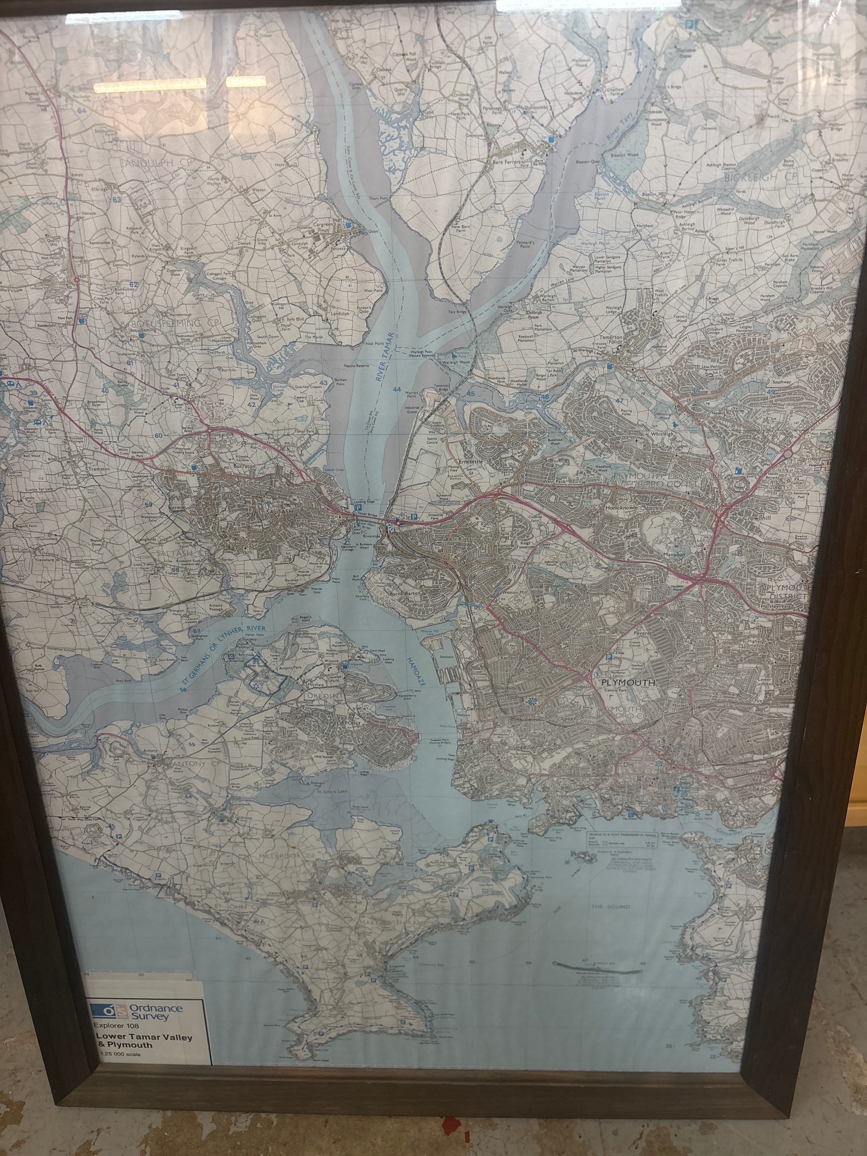
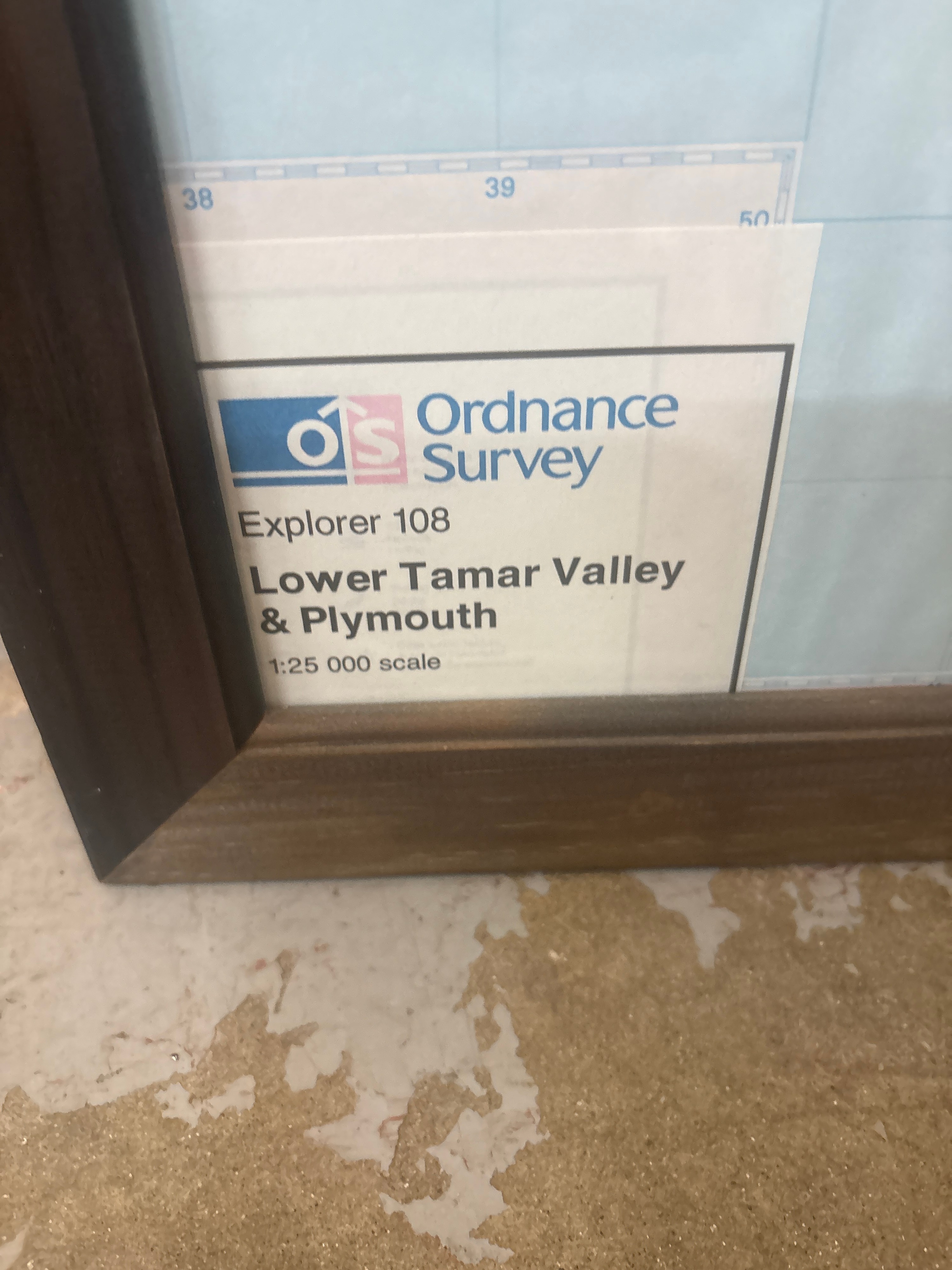
A framed topographical map presenting the Lower Tamar Valley and Plymouth at a 1:25 000 scale. The map is part of the Ordnance Survey Explorer series, specifically sheet 108, and covers the geographic area of the Hamoaze, River Tamar, and The Sound. The piece features a printed paper map which has been flattened and mounted behind glazing within a dark wood-effect frame. A printed label located in the bottom right corner of the sheet bears the OS Ordnance Survey logo alongside the text Explorer 108, Lower Tamar Valley & Plymouth, 1:25 000 scale. The cartography includes detailed features such as contour lines, field boundaries, and urban layouts for the Plymouth district, with notable geographic labels including RIVER TAMAR, ST GERMANS OR LYNHER RIVER, and PLYMOUTH. This lot comprises the framed map only; the wooden furniture and surrounding items shown in the background of the images are not included.
Condition report:
The map exhibits visible rippling and undulation across the paper surface behind the glass, which is typical of a previously folded map that has been flattened for framing (photo 1). Horizontal and vertical crease lines from the original fold patterns are visible under the glazing (photo 2). The dark wood-effect frame appears intact with no significant losses, though minor surface wear is visible to the edges. No damage to the glass is observed.
Share this lot: